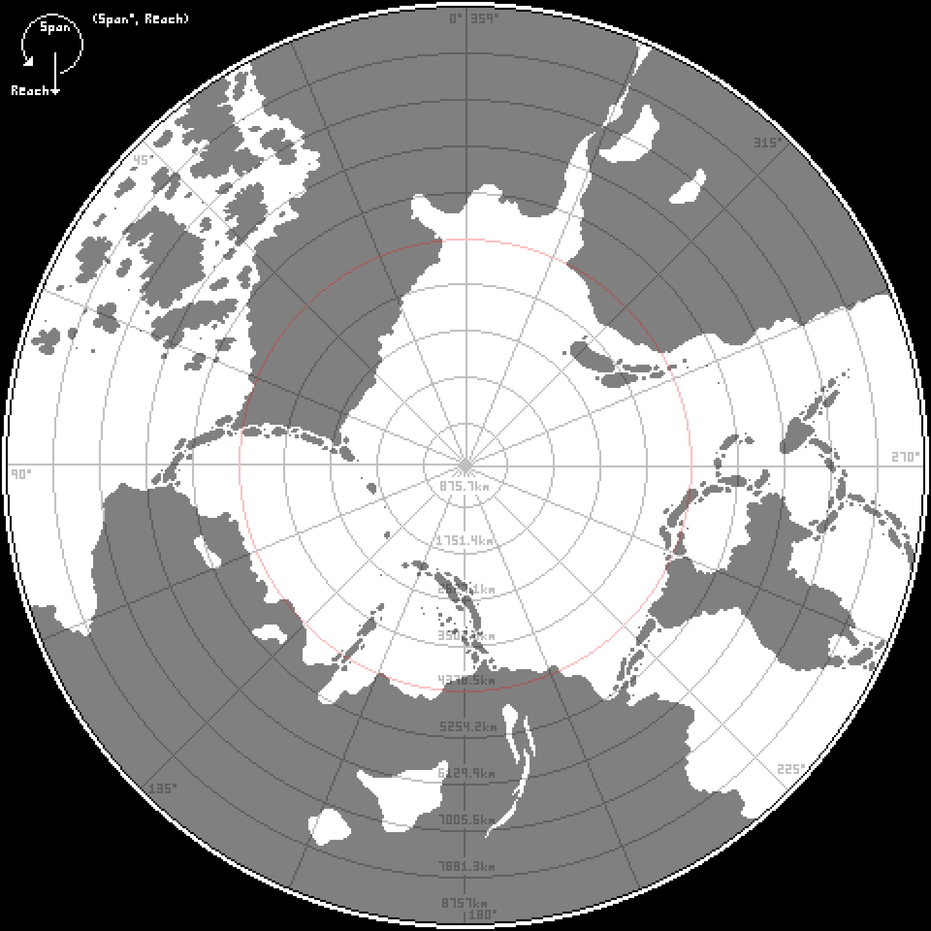
Span and Reach are coordinate directions used in a multitude of scientific branches and occupations. Unlike the three-dimensional spherical system, AAE, used by astronomers, span and reach are two-dimensional, tailored to the Plane’s flat landscape centered around the central pole and using the cardinal directions.1
Span is a measure of a points angular direction relative to the central pole, expressed in degrees. A 0° span is traditionally pointing directly north, increasing starward2. Span around the Plane is fully continuous, making a 360° cycle. Reach is a measure of a points distance outward from the central pole, expressed in units, which may vary in scale dependent on the context. Reach begins at 0 units at the central pole and increases with distance outward. A point in the coordinate system is denoted by combining the Span and Reach in the format (Span°, Reach).
Most often on world maps span is divided into eight equal slices of 45° intervals and reach is divided into ten equal rings approximately 1/10th the radius of the Plane.
See Also
This article is considered complete for the moment, and it’s unclear if it will need to be revisited in the future! If you think it’s time for a review make a suggestion through a GitHub issue!
